Welcome to RVForums.com
- Register now and join the discussion
- Friendliest RV Community on the web
- Modern site for PC's, Phones, Tablets - no 3rd party apps required
- Ask questions, help others, review campgrounds
- Get the most out of the RV Lifestyle
- Invite everyone to RVForums.com and let's have fun
- Commercial/Vendors welcome
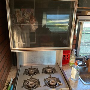
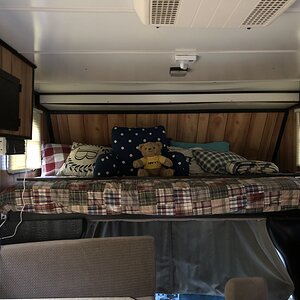
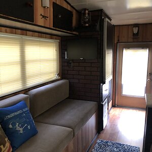
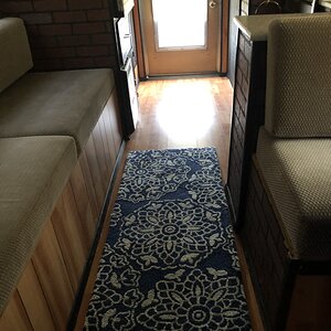
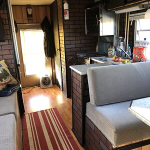
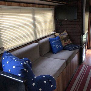
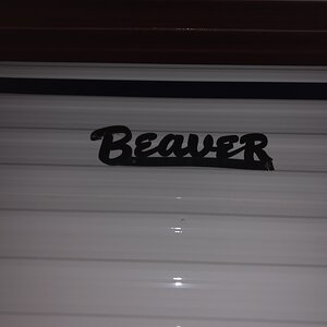
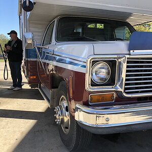
Eisenhower Tunnel
- Thread starter DKRITTER
- Start date
-
- Tags
- eisenhower
Welcome to RVForums.com
- Register now and join the discussion
- Modern secure site, no 3rd party apps required
- Invite your friends and let's have fun
- Commercial/Vendors welcome
- Friendliest RV community on the web
Share this page


Latest resources
-
Trueline Leveling System (Valid Air)Operation & Service Manuals for the Valid Air leveling system
- Jim
- Updated:
-
-
Notes on the Electrical Systems of the Roadtrek Zion Family of RVsNotes on the Electrical Systems of the Roadtrek Zion Family of RVs
- dilbertjth
- Updated:
-
-