- Joined
- Jan 19, 2021
- Messages
- 3,612
- Location
- Rosemary Farm
- RV Model
- Between RVs
- TOW/TOAD
- Toadless
- Fulltimer
- No
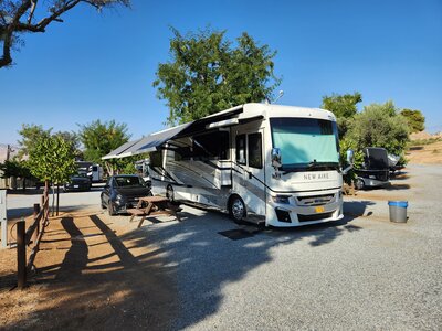
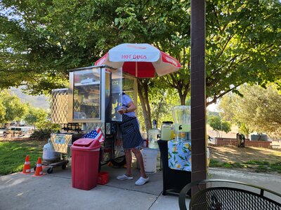
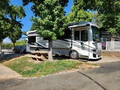
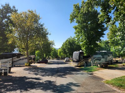
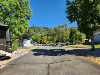
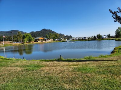
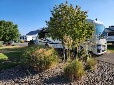
Camping out behind Coach Glass in Coburg and frankly enjoying the weekend solitude in an industrial park. The local Country park - Armitage is very nice with lots of trees and wide open spaces and the sites far apart, but while the windshield goop cures the coach stays put - slides in, jacks stowed. So this is fine with me - I like it a whole lot better than a crowded RV park with sites packed in a few feet from each other. Also lots of room to ride the bikes here and fishing near by.

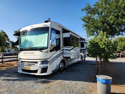
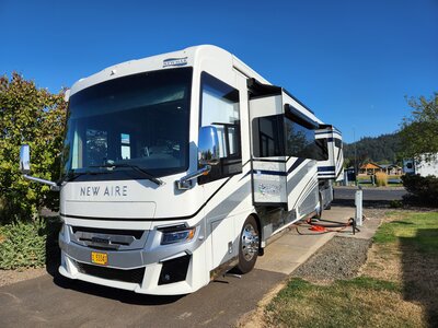
Lovin this new big beautiful piece of glass

And of course entertaining the 10 year old

Lovin this new big beautiful piece of glass
And of course entertaining the 10 year old
")