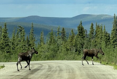
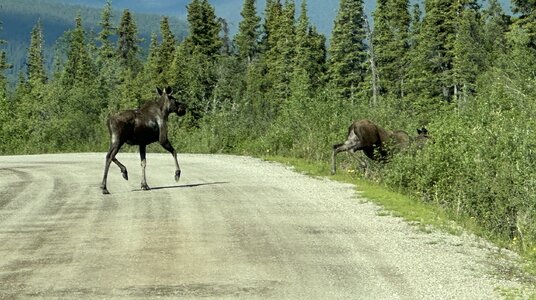
I spoke to some rv'ers when we were in Denali and they agreed, 10 mph was too fast at times.
You may be interested in reading the following.
A Lesson on Frost Heaves
It’s hard to wrap your mind around the fact that you are driving over permanently frozen ground (permafrost) because the landscape looks normal with trees, plants, rocks, lakes, streams, etc. But that upper layer (I don’t know how deep it is) is providing insulation for the permafrost (the permanently frozen ground underneath).
If you scrape away the top layer, this allows the permafrost to melt and it turns to mush. The highways are literally built on top of the layer and the freezing/thawing of the permafrost underneath creates the frost heaves in the road surface. They’ve tried to solve the problem since 1942 when the military built the original ALCAN highway. It’s still not solved.
A 125-mile (200 km) stretch of highway in the Yukon had the poorest roads of the entire trip from Texas. We were warned that the melting and refreezing would make the highway full of ruts (parallel to the highway) and frost heaves (sunken areas and humps typically larger than speed bumps perpendicular to the highway). There were immediately plenty of both. It was a real test of the shocks, air bags, and driving skills!
The ruts were 2–3 inches deep and 6–36 inches wide running a few feet to maybe 50–100 feet parallel with the road. (From 5–8 cm deep and 15–90 cm wide and 15–30 meters long.) If you missed seeing them (thus allowing you to steer around it) these ruts would pull your tires/vehicle into the “groove” and you just had to fight it until the rut ended.
You couldn’t take your eyes off the road. If you missed slowing down for a frost heave, it would nearly launch the front wheels of the coach off the ground—even driving about 35–45 mph (55–70 kph). There were small orange flags marking many frost heaves but hundreds had no warning flags.
You might see the orange flag on one side of the road. While I could not verify this, it appeared the frost heave would be more prominent (higher) on side with the flag. Steering to the other side seemed to help. With virtually no traffic from either direction on this highway, crossing lanes was a reasonably safe maneuver.
As shown here, you might be able to spot a frost heave because the painted center line or edge line appears to weave slightly from side to side. The flags were easier to see but there were a number of frost heaves that were not flagged. There were literally thousands of frost heaves in that 125 miles (200 km).